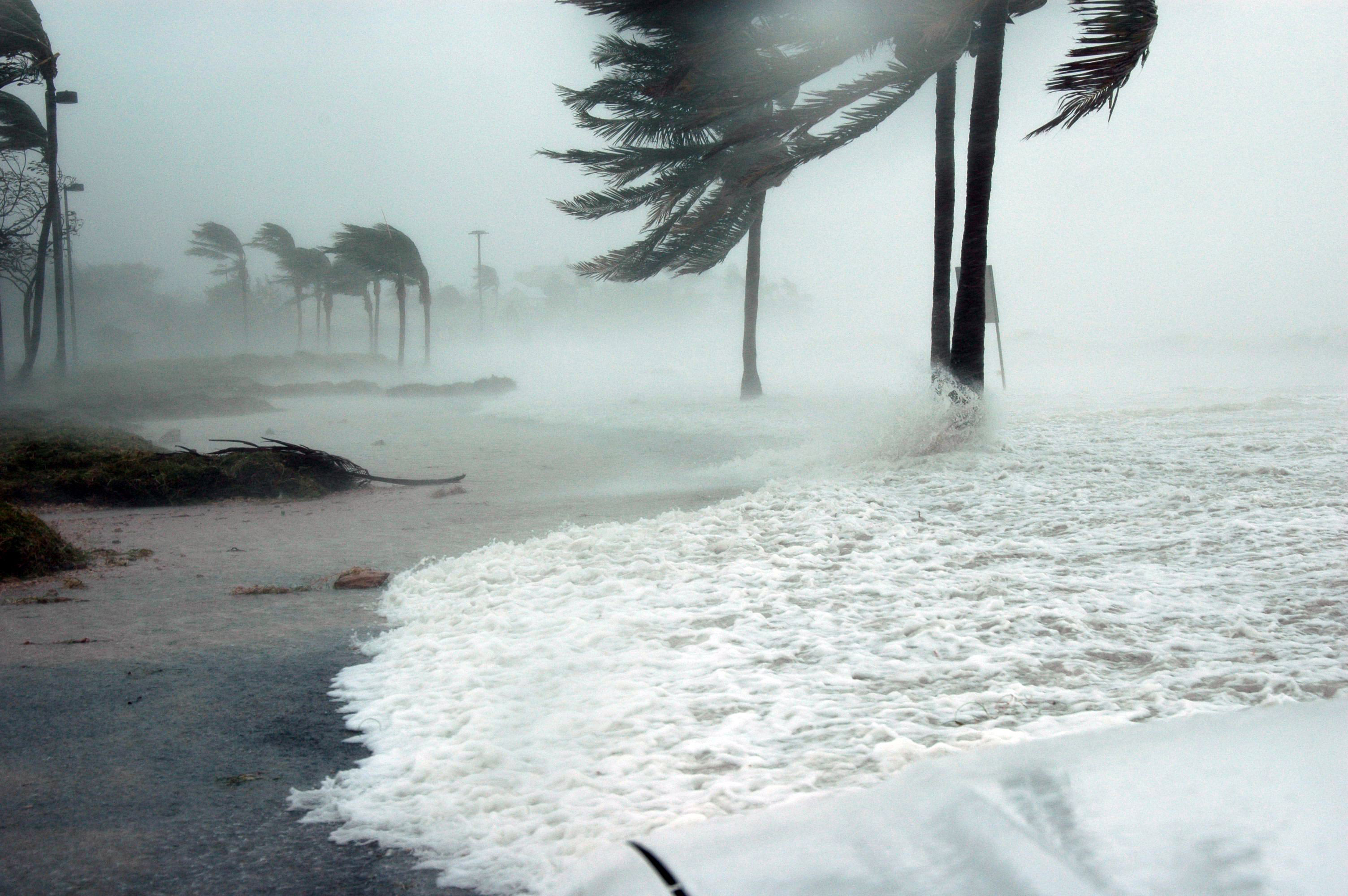
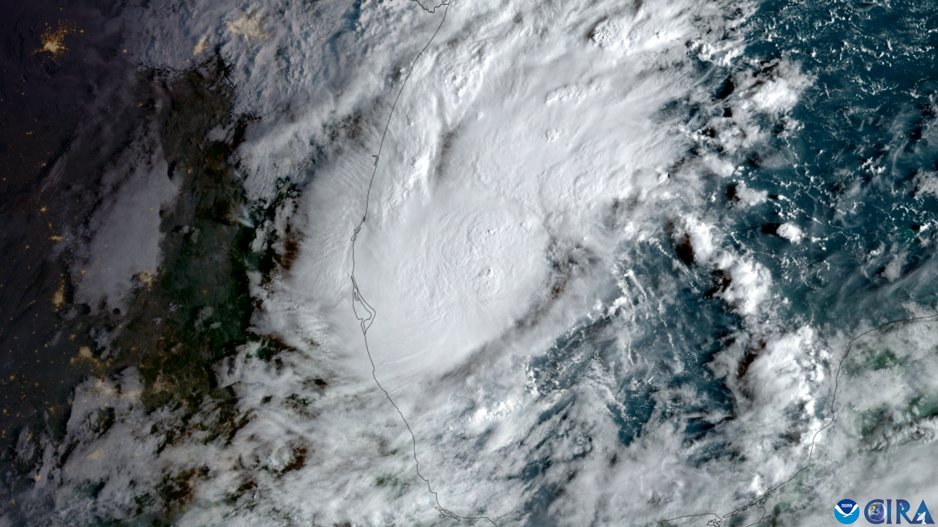
A disturbance in the southwestern Gulf is now almost certain to become a tropical depression as Florida faces several days of heavy rain from a separate stalled weather pattern.
The National Hurricane Center's 2 p.m. outlook Tuesday, Oct. 6, raised development odds for Invest AL92 to "near 100 percent" within both 48 hours and seven days. National Hurricane Center
Satellite images and surface observations showed showers and thunderstorms becoming better organized around a broad area of low pressure while surface pressures continued to fall. The NHC said advisories could begin Tuesday evening or overnight if those trends continued. National Hurricane Center
What it means for Palm Harbor and Dunedin
AL92 was moving slowly eastward Tuesday and is expected to turn north or northeast toward the northern Gulf Coast by the end of the week.
The NHC said it remains too early to determine specific impacts along the northern Gulf Coast and urged residents from the Florida Panhandle to Louisiana to monitor the system. National Hurricane Center
For Palm Harbor and Dunedin, a more immediate concern is a separate wet weather pattern already affecting the Tampa Bay area.
The National Weather Service's Tampa Bay office said Tuesday afternoon that a front stalled across Florida will keep the region cloudy and humid, with numerous to widespread showers and scattered thunderstorms over the next several days. Locally heavy rain and minor flooding are possible. National Weather Service
Increasing winds over the northeastern Gulf are also expected to create hazardous boating conditions through the remainder of the week.
Heavy rain remains primary local concern
Deep tropical moisture is expected to remain over Florida as the stalled front lingers across the state.
The NWS said repeated rounds of rain could produce locally heavy totals, particularly where showers and thunderstorms repeatedly move over the same locations. National Weather Service
The Tampa Bay Times reported Monday, Oct. 5, that NWS Tampa Bay meteorologist Shiveley projected 2 to 4 inches of rain across the Tampa Bay area during the week, with totals potentially exceeding 6 inches along the Nature Coast.
As of Monday, Shiveley said reliable forecast models were not bringing the developing Gulf system close to Tampa Bay.
"We get these dying cold fronts that just don't have the energy yet to push through us, and they end up being kind of like a graveyard here in Florida," Shiveley told the Tampa Bay Times, describing the stalled pattern contributing to the region's rain.
Hurricane hunters investigate AL92
A NOAA Gulfstream jet was sent into the Gulf on Tuesday afternoon to sample the atmosphere around AL92. Air Force and NOAA reconnaissance aircraft are scheduled to investigate the disturbance Wednesday, Oct. 7. National Hurricane Center
If the system develops as expected, it would first become a tropical depression. If sustained winds later reach tropical-storm strength, the next name on the 2026 Atlantic list is Isaias. National Hurricane Center
The NHC's official 2026 storm record currently lists Arthur, Bertha, Cristobal and Dolly as the season's first four named storms. National Hurricane Center
Pinellas residents urged to monitor forecasts
The National Weather Service expects the wet pattern to continue through much of the week, regardless of how quickly AL92 develops.
Pinellas County residents can receive local emergency notifications through Alert Pinellas and the Ready Pinellas app.
Because AL92 is still developing and does not yet have an official forecast track, residents should monitor National Hurricane Center and National Weather Service updates as the system becomes better organized.


.jpg)