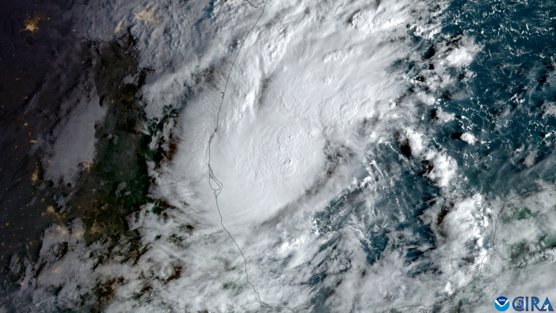
Palm Harbor and Dunedin residents are keeping an eye on a developing Gulf system after forecasters raised its chance of becoming a tropical depression this week.
The National Hurricane Center increased the system's development chance Monday afternoon to 60% within 48 hours and 80% within seven days.
The disturbance, designated Invest 92L, is a trough of low pressure over the southwestern Gulf producing disorganized showers and thunderstorms.
Although environmental conditions are only marginally favorable, the NHC said gradual development is becoming more likely and a tropical depression is expected to form during the middle of the week.
The system is forecast to drift eastward over the next couple of days before turning northward.
It remains too early to determine what effects, if any, the system could have on Florida or other parts of the northern Gulf Coast, according to the NHC. Forecasters advised people along the northern Gulf Coast to monitor its progress.
If the system strengthens into a tropical storm, it would be named Isaias, the ninth name on the 2026 Atlantic hurricane season list.
Forecasters watch difficult conditions
The system faces conditions that could limit its development even as it moves over warm Gulf waters.
WFLA Chief Meteorologist Jeff Berardelli wrote Friday, Oct. 2, that strong wind shear could make tropical development difficult.
WMNF reported Monday that forecast models differed on the system's strength and track because it lacked a well-defined center of circulation.
Warm Gulf waters could provide fuel for the system if it becomes better organized.
Weather Prediction Center meteorologist Nick Novella told the Tampa Bay Times last week that Gulf sea-surface temperatures remained unusually warm after a relatively quiet stretch of tropical activity.
The 2026 Atlantic hurricane season reached Oct. 1 without a hurricane, according to the Times. Eight tropical storms had formed by then, but none had reached hurricane strength.
Pinellas residents can prepare
Although no specific Pinellas County impacts have been forecast, residents can use the developing system as an opportunity to review their hurricane plans.
Printed copies of the 2026 Pinellas County Hurricane Guide are available at The Centre, 1500 16th St. in Palm Harbor, as well as county libraries, municipal buildings and other county offices.
The guide includes information about evacuation zones, shelters and hurricane preparation. Residents can also use the county's evacuation information to check evacuation zones and other resources.
Pinellas County also provides emergency updates through Alert Pinellas and its Ready Pinellas mobile app.
The National Hurricane Center issues tropical weather outlooks several times each day. Atlantic hurricane season continues through Nov. 30.




.jpg)