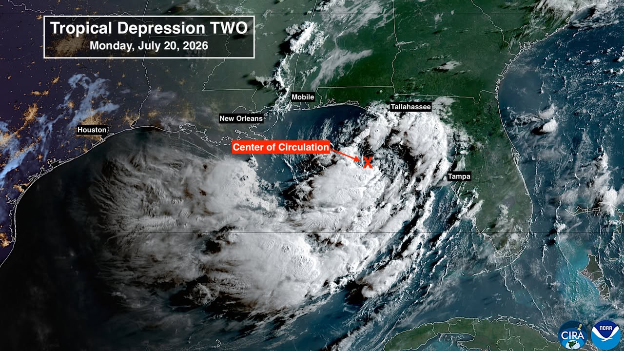
The National Hurricane Center upgraded Tropical Depression Two to Tropical Storm Bertha on Monday, according to the center's advisory updates. Palm Harbor and Dunedin residents can expect 2 to 4 inches of rain through Friday, with locally higher totals near 8 inches possible along the Gulf Coast.
Flash flooding is the primary threat, not wind.
Drought amplifies the flood risk
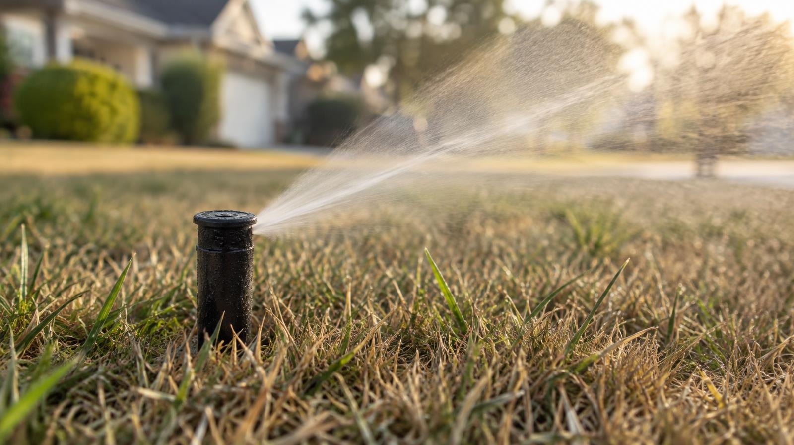
The National Weather Service's Tampa Bay office listed an active drought information statement Monday noting "abnormally dry to extreme drought" conditions across west central Florida. Dry, compacted soil absorbs less water, meaning even moderate rainfall can sheet off into streets and drainage systems faster than normal.
AccuWeather meteorologist Alex Duffus warned July 19, before the system was even classified as a depression: "Flash flooding from slow-moving or repeated downpours looks to be the biggest threat from the tropical rainstorm, even if it does not fully develop into a tropical depression or storm."
Where the storm is and where it's heading
At 1 a.m. CDT Monday, the system was still classified as Tropical Depression Two with maximum sustained winds of 30 mph, according to NHC Intermediate Advisory 3A. It was about 125 miles south of Panama City, drifting north-northwest at 3 mph. The NHC said gradual strengthening was expected, and the upgrade to tropical storm status came later Monday as winds increased past the 39 mph threshold.
Forecasters said Saharan dust and strong wind shear would likely prevent the system from reaching hurricane strength, according to Naples Daily News reporting on Sunday.
The storm is forecast to move near or along the northern Gulf coast over the next several days before turning west-northwest. The NHC said additional watches or warnings could be issued over the next day or two.
What this means locally
Pinellas County is not under a tropical storm watch. That watch covers only the Panhandle coast from the Ochlockonee River west to the Alabama border. But the NHC warned that swells from the system are already affecting the Gulf coast, creating life-threatening surf and rip current conditions along beaches in the Palm Harbor and Dunedin area.
The NHC forecast storm surge of 1 to 3 feet above normal tide levels along Florida's Big Bend coast from Indian Pass to Chassahowitzka, north of Pinellas County. Palm Harbor and Dunedin are not in the surge zone but should prepare for street flooding in low-lying areas if rainfall totals reach the upper end of forecasts.
Hurricane preparedness supplies, including batteries, portable generators and tarps, are permanently exempt from sales tax in Florida.
How to stay informed
No specific Pinellas County Emergency Management advisory for Bertha had been posted as of Monday morning. Residents should monitor:
- National Weather Service Tampa Bay: weather.gov/tbw for local watches and warnings
- Pinellas County Emergency Management: pinellas.gov/department/emergency-management/
- National Hurricane Center: nhc.noaa.gov
The NHC said additional tropical storm watches or warnings could be required as Bertha tracks along the northern Gulf coast through midweek.



.jpg)